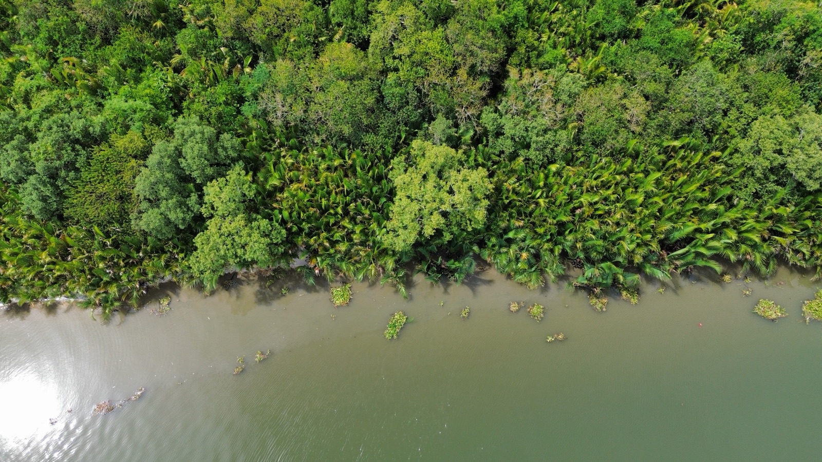
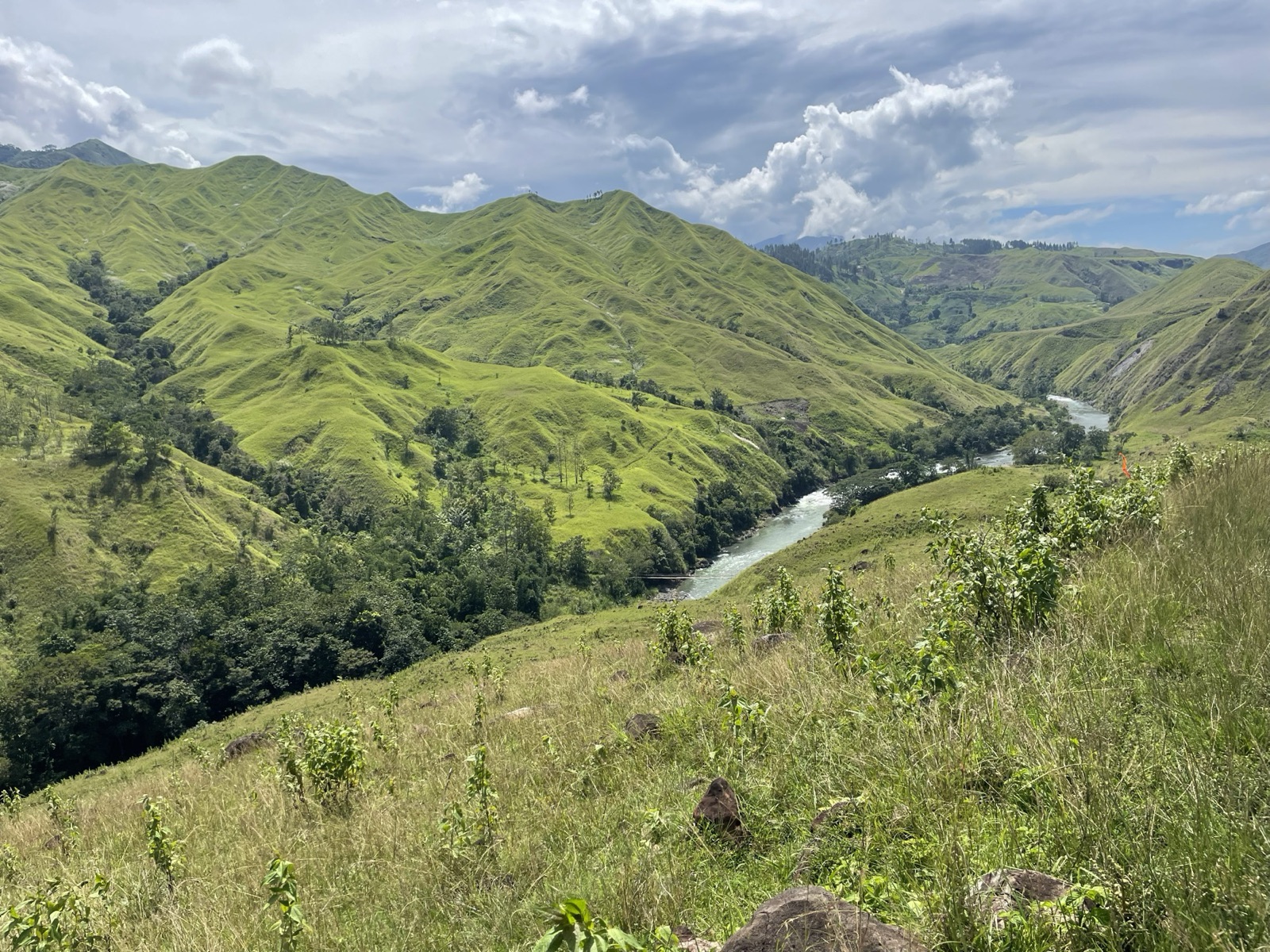
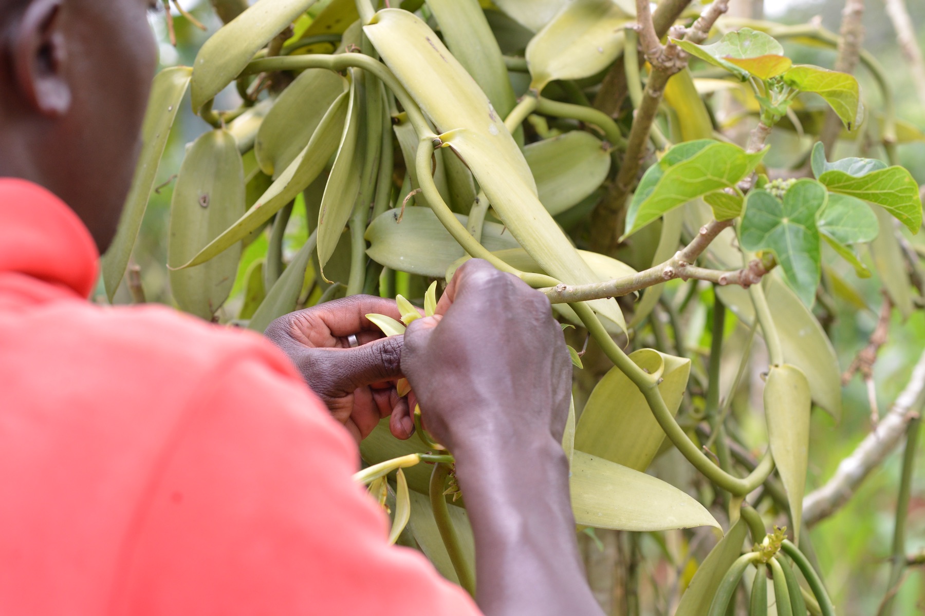
Cloud covers most of Mindanao on most days. Optical satellites see the land a handful of times a year, and they never see tenure, consent, or who actually works a parcel. That fog is what investors price as risk when they look at a Philippine forestry project. Ghost Dance, live at ghost.dance, is Wovoka's answer: a phone app that lets community members document their own forest, one geotagged photo at a time, inside a boundary the project manager draws.
How it works. A participant joins a mission with a name and a mission code, or with a Facebook login. The app checks that each photo was taken inside the project geofence, stores it offline if there is no signal, and syncs when there is. A manager reviews every submission, approves or rejects it with a reason, and the participant is paid through GCash: 100 pesos per approved photo, 50 pesos per successful referral. Managers can post quests, specific asks such as a tree line or a buying station, with their own reward. There is a cap on unreviewed photos per person, so the incentive cannot be gamed into a flood.
Why now. Two things changed this month. ICVCM and the World Bank published sixteen integrity requirements for digital MRV, and community rights and transparency are explicitly among them. And the buyers who signed 40 million tonnes of nature-based offtakes through Symbiosis are demanding delivery-risk analysis before they contract. Both point the same way: a project that can show verifiable, dated, located evidence from the ground, generated by the people who hold the land, has an answer that a satellite baseline alone does not.
First deployment. The FEMMATRICS Indigenous community in Bukidnon, whose ancestral domain covers 102,324 hectares, holds a feasibility kick-off ceremony in the second week of October 2026. Ghost Dance launches there, on a 40,000-hectare MOA area, as the community's own monitoring layer for the feasibility study. Photos of participants are never used in public material; the data is theirs and the project's.
What it is not. It is not an MRV methodology and it does not replace a validator. It is the evidence layer beneath both: a time-stamped, geolocated record of what is on the land, who put it there, and when. Wovoka intends to offer it to other developers as a third-party tool, because a field layer that only its owner can use is not much of a standard.
Registries read daily. Stories like this one, weekly.
Every edition, the full project inventory, and the Position Check for all ten countries.
Get the free weekly read →